
11/03/2025
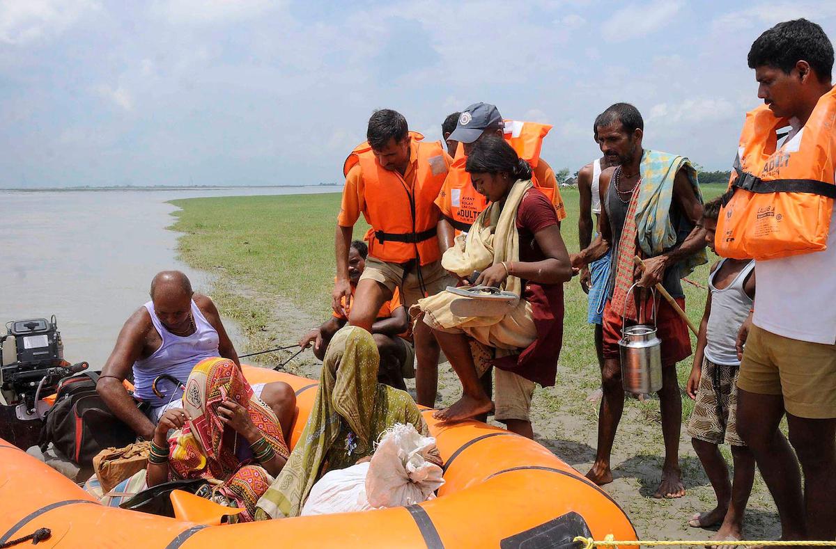
Kabul, Nov. 3: A 6.3-magnitude earthquake struck near the northern Afghan city of Mazar-e-Sharif early Monday, killing at least 10 people and injuring around 260, officials said, as reported by Reuters. The tremor comes just months after a powerful quake and a series of aftershocks in August left more than 2,200 people dead.
Hemmed in by rugged mountain ranges, Afghanistan is among the world’s most disaster-prone countries. Earthquakes cause the highest number of fatalities, an average of 560 deaths annually, and result in damages worth about $80 million each year, according to studies cited by Reuters.
At least 355 earthquakes measuring above magnitude 5.0 have struck Afghanistan since 1990, making tremors a regular threat across much of the country.
Afghanistan’s seismic activity stems from its location at the intersection of several major tectonic plates. The country lies on the edge of the Eurasian plate, which collides with the Indian plate moving northwards, while also being influenced by the Arabian plate to the south.
This convergence creates one of the most tectonically active zones on Earth, generating frequent earthquakes as the plates push, twist, and grind against one another.
Eastern and northeastern Afghanistan, particularly along the borders with Pakistan, Tajikistan, and Uzbekistan, are most vulnerable to strong tremors. Kabul, the densely populated capital, faces the highest estimated financial damage from earthquakes, averaging about $17 million each year.
Mountainous regions face an added threat: quakes often trigger landslides that bury villages and block critical access routes, worsening rescue challenges.
Afghanistan has recorded about 100 damaging earthquakes since 1900.
Experts say strengthening infrastructure and improving monitoring systems are crucial for reducing the human toll. Studies recommend that new buildings be constructed using earthquake-resistant techniques and that older structures be retrofitted to prevent collapse.
Improved seismic monitoring, early warning systems, and detailed mapping of fault lines using remote-sensing technologies could also help authorities plan relocations and issue timely alerts to residents in high-risk areas, reported Reuters.-Agencies


Tehran, June 21: As India presses ahead with Operation Sindhu to evacuate its citizens from Iran amid intensifying hostilities in the Middle East, the Indian Embassy in Tehran has announced that, upon formal requests from the governments of Nepal and Sri…
Kathmandu, Nov. 24: The joint training exercise "SURYA KIRAN-XVII" of Nepali Army and Indian Army is starting from 24 November 2023 in Pithoragarh, India. The Nepalese army team that will participate in the exercise, which will be attended by the…
New Delhi, May 5: Indian Prime Minister Narendra Modi will be the guest of honour for this year’s Bastille Day Parade in Paris scheduled to take place on July 14. In a statement, the Ministry of External Affairs (MEA) of…